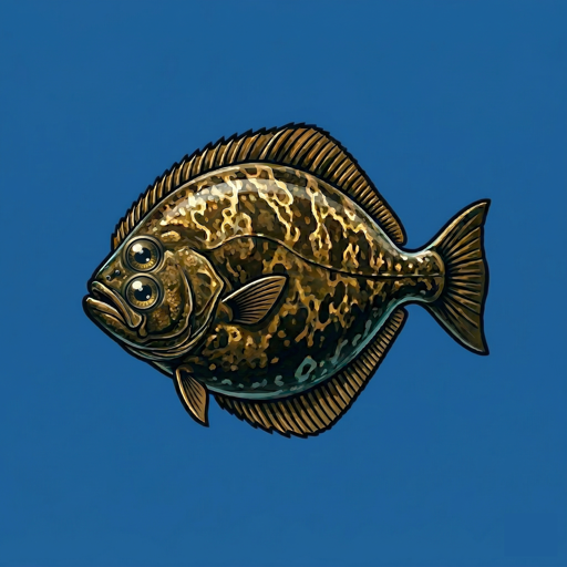
Free Marine Chartplotter · US Coastal & Great Lakes
Ditch the subscription. Keep the charts.
When other anglers accuse you of hogging all the fish.
FishHogs puts free NOAA nautical charts and GPS navigation in your pocket — plus premium bathymetry contours. Built for anglers who'd rather spend money on bait than chart subscriptions.
Everything you need on the water
Professional chartplotter features without the professional price tag.
NOAA Charts
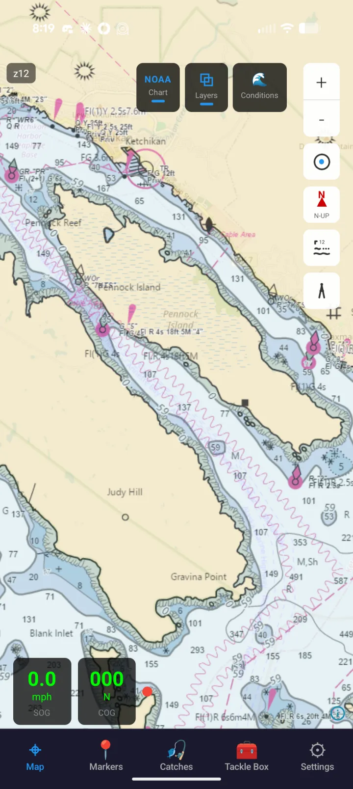
Official NOAA nautical charts with full detail — channel markers, depth soundings, hazards, and more.
Depth & Bathymetry
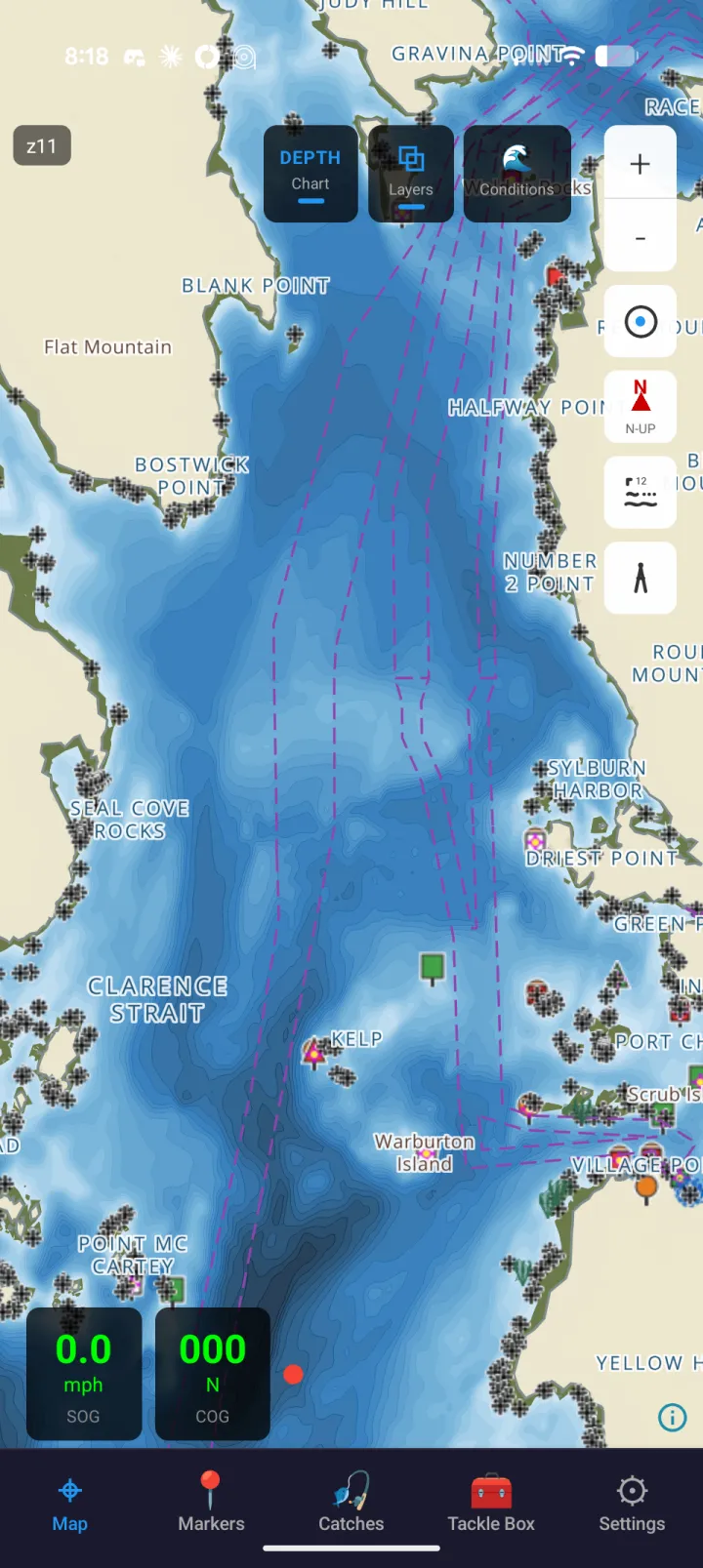
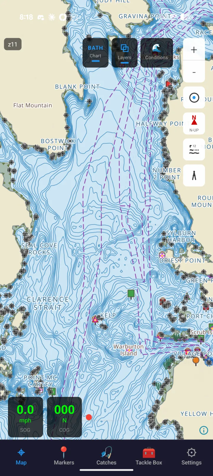
Bathymetry contour overlays with a species-targeting depth band, plus a FishHogs Depth chart mode with graduated depth shading — reveal structure, drop-offs, and the spots fish actually hold. Premium. Coverage is regional: Atlantic and Gulf coasts, the Great Lakes, Southeast Alaska, and Puerto Rico and the USVI — Pacific and Hawaii coverage is very limited.
Markers & Catches
Save and organize your favorite spots with custom markers, and log every catch with species, size, and location.
GPS Navigation
See your position and heading live on the chart, so you can keep track of where you are as you fish.
Group Sharing
Share markers, catches, and live location with your crew — plus in-app group chat to coordinate on the water. Creating or joining a group, and sharing markers, are Premium; sharing a catch, chat and live position are free for every member.
Tides & Conditions
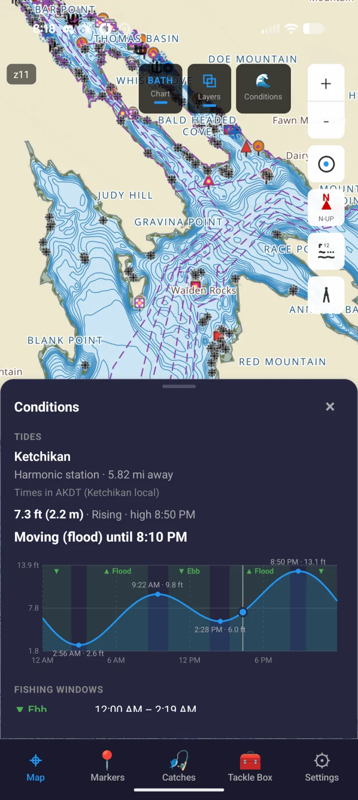
Tide predictions with fishing windows, currents, and marine weather for your location — so you know when to go.
Fish ID Guide
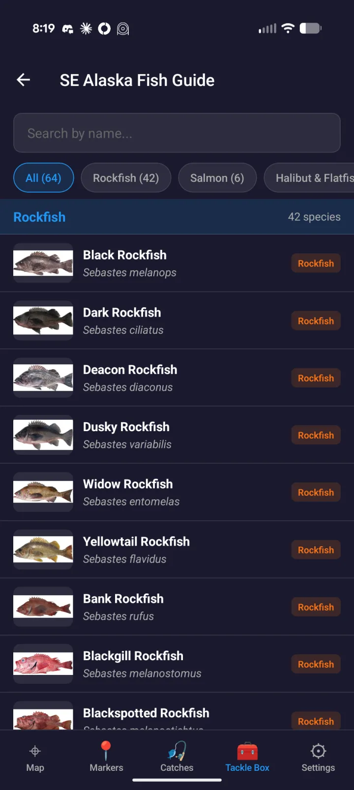
Fish ID guides for SE Alaska (64 species) and the Gulf Coast (150) — rockfish, salmon, snapper, grouper & more — with photos to identify your catch.
Reference Tools
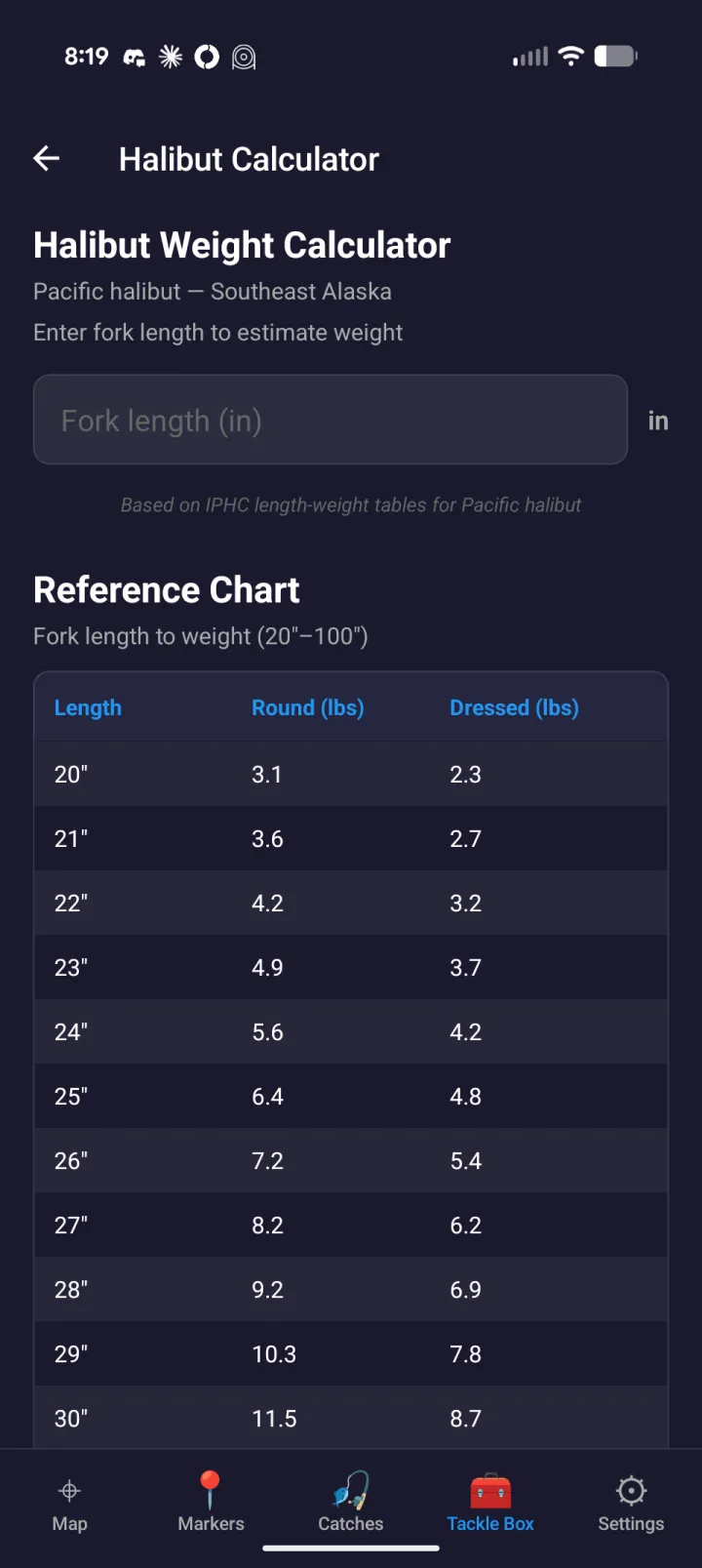
A Tackle Box of on-the-water references — marine radio channels, fishing regulations, and a halibut weight calculator.
See it in action
Real screens from the water — charts, conditions, and the Tackle Box, here in Southeast Alaska.
Why FishHogs?
We think anglers deserve better than a $100/year chart subscription.
Downloads keep working
A lapse doesn't lock you out
Charts you've downloaded stay usable even if your subscription lapses — including offline, when a token can't be refreshed. A subscription buys new areas and updates, not permission to open what you already have.
What you downloaded is yours to keep using.
Export anytime
Your markers and catches are yours
Every marker and catch you log — and the ones shared with your group — exports to standard GPX whenever you want, with no subscription required to get your own data out.
Standard GPX. Open it anywhere.
No moving the line
Free stays free
What's free today stays free. Adding a subscription didn't move anything you already had behind it — and we've written that down as a rule we hold ourselves to, not a promise we can quietly walk back.
The free app is a real app, not a trial.
$0/year
Free NOAA Charts
NOAA charts are public data paid for by your tax dollars. We use them directly instead of charging you again for repackaged government data.
Why pay $50-100/year for repackaged public data?
Offline-ready
Built for Remote Areas
Download full NOAA chart regions for offline use, plus automatic caching for areas you've viewed — so the charts you've downloaded keep working with no signal.
Offline chart downloads — now available.
Not boaters
Made for Anglers
Depth contours, structure finding, and spot management designed for fishing — not cruising. Every feature earns its place by helping you catch more fish.
No bloat. No marina reviews. Just charts and fish.
The free tier stays free. Premium when you want more.
NOAA charts, GPS, markers, catch logging, and tides are free — no trial, no expiry. FishHogs Premium adds bathymetry, crew groups, unlimited sync, and removes the ads.
Free
$0
no trial, no expiry
Premium
$4.99/mo
billed monthly
Premium Annual
$29.99/yr
Save $29.89
vs. $59.88 billed monthly
| Capability | Free | Premium |
|---|---|---|
| NOAA raster nautical chartsThe full US saltwater and Great Lakes chart set — identical on both tiers. | Included | Included |
| GPS position, heading & speed | Included | Included |
| Markers, catch logging & GPX import/exportLogging your catches is free, and always will be. | Included | Included |
| Offline NOAA raster chart downloads | Included | Included |
| Tides, currents & marine weatherOffline tide and current predictions, plus live buoy observations. | Included | Included |
| Fish ID guides & Tackle Box toolsBoth regional species guides, the weight calculators, licence storage and the VHF reference. The experimental Rockfish photo-ID classifier is a founder-cohort tool and is on neither tier. | Included | Included |
| Cloud sync across your devicesSync is free up to 200 saved markers and catches — Premium lifts the cap. No device limit on either tier. | Up to 200 markers & catches | Unlimited |
| Bathymetry contours & FishHogs Depth modeBottom structure, drop-offs, and graduated depth shading. | Not included | Included |
| Offline bathymetry downloads | Not included | Included |
| Crew groups — create, join & shareCreating a group, accepting an invite, and sharing markers are Premium. Sharing a catch, group chat and live position stay free for every member. | Not included | Included |
| Ad-free experience | Banner ads | No ads |
| Web viewer (crew.fishhogs.app)Sign in and manage your data in a browser. | In beta — coming soon | |
US pricing, in US dollars. Prices in other regions are set by the App Store and Google Play. Subscriptions renew automatically until cancelled, and are managed in your App Store or Google Play account.
Get FishHogs
Available now for iPhone, iPad, and Android.